Stockholm is beautiful and crisp in the Fall.
To get the full impact of the photos and to read the captions, click on the first one and view them as a slideshow.

Public square in Gamla Stan, Stockholm’s old town. Gamla Stan is one of the largest and best preserved medieval city centers in Europe. (Source: visitstockholm.com)

The Nobel Museum is housed in the former Stock Exchange Building.

Stortorgsbrunnen, an old well, sits in the center of Stortorget, Swedish for “big square.” The well marked the center of Stockholm: from here all distances in the city as well as the distances to other cities were measured.

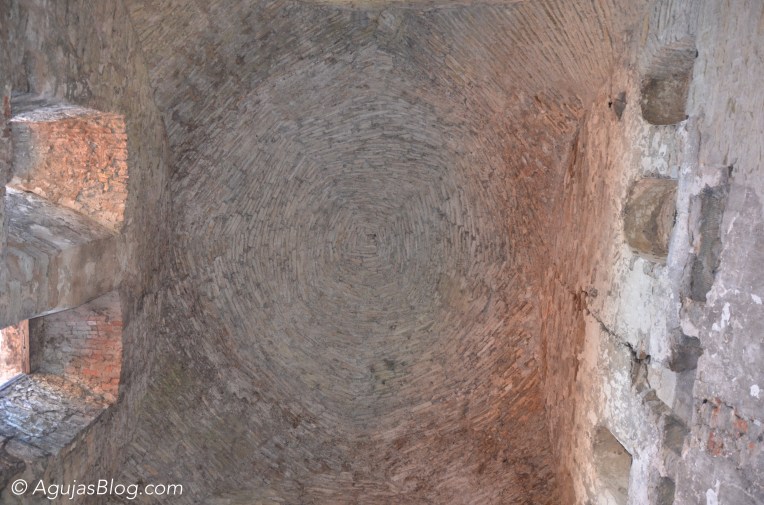
After visiting the Nobel Museum, we had a hot WHITE chocolate (yes, white chocolate) at Kaffekoppen. The place is tiny. Additional seating is located downstairs in their historical cellar vault from the 1600s.

Serving authentic Nordic home cooking. The Swedish Academy convenes here for its weekly dinner every Thursday, and has done so since the beginning of the 1900s. (Source: gyldenefreden.se)

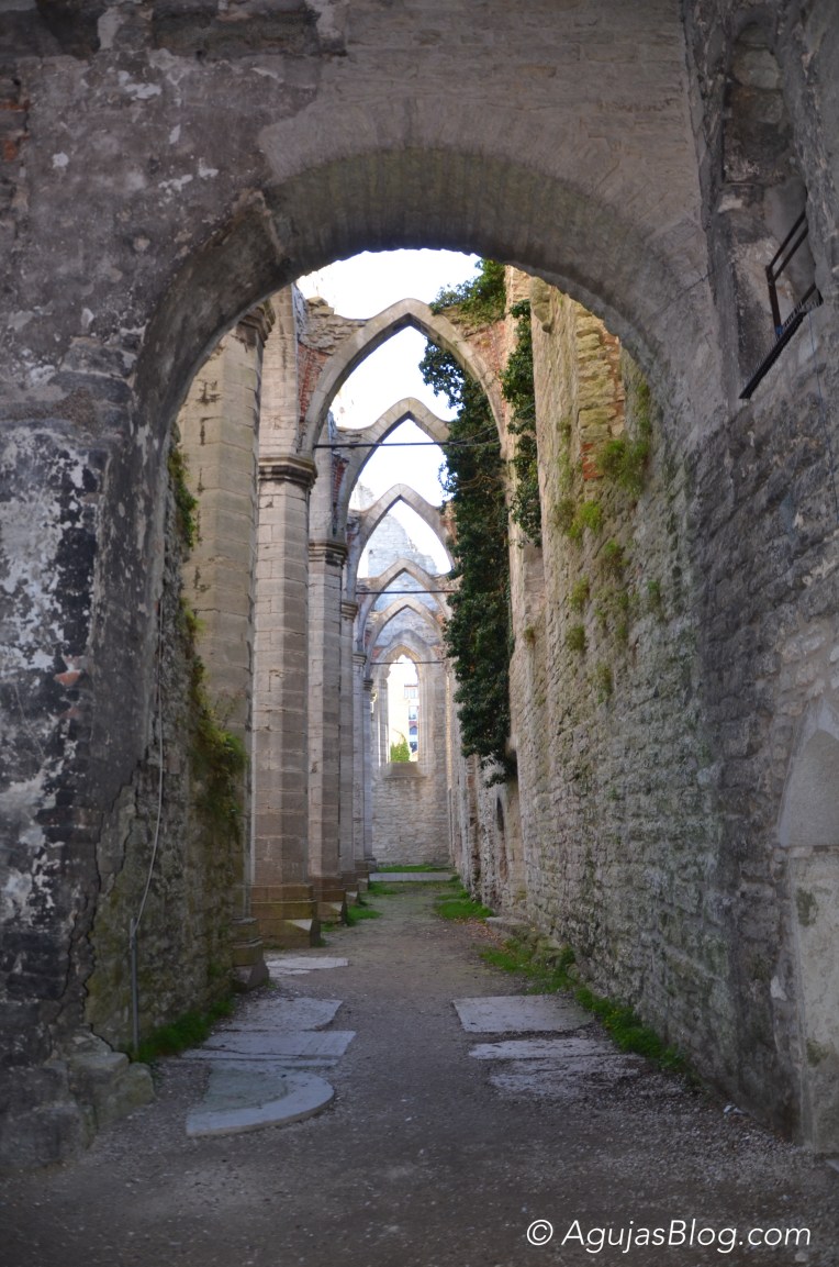
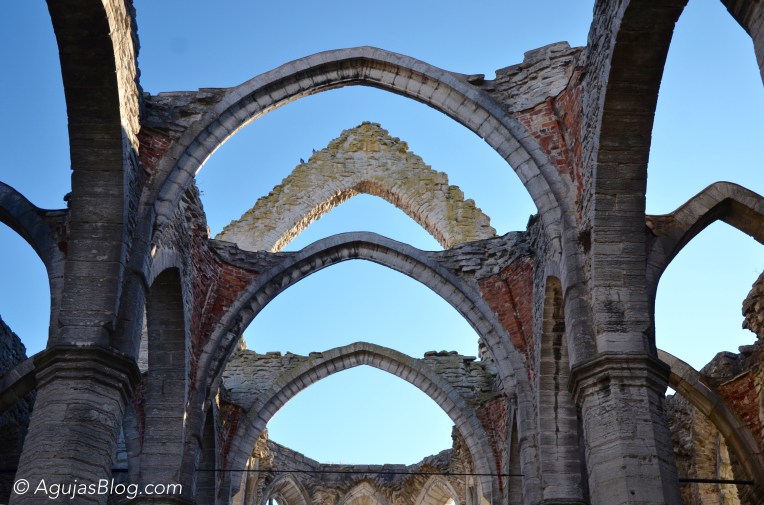
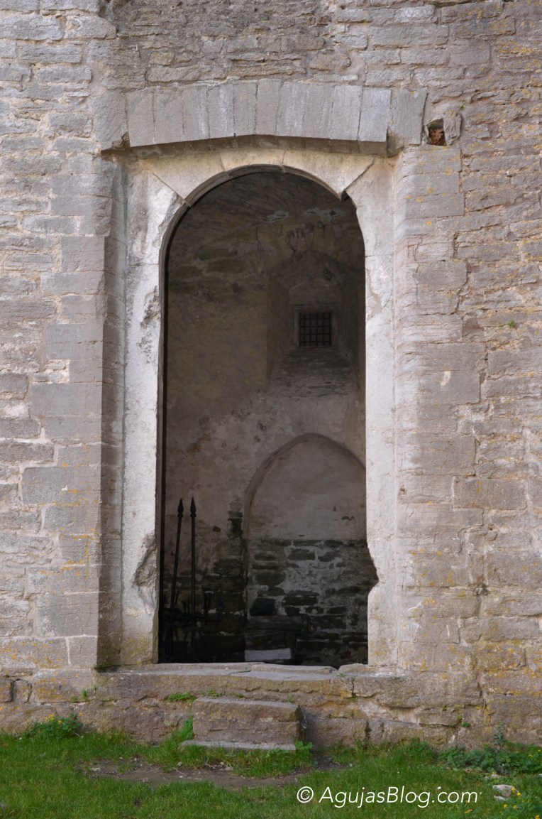
Tyska Kyrkan, the German Church of St. Gertrude.

A beautiful courtyard in Gamla Stan. I can imagine living in one of the apartments.

Adorable balcony somewhere in Gamla Stan.

Hearty Swedish meatballs, mashed potatoes and lingonberries at Stockholms Gästabud Bar and Bistro.

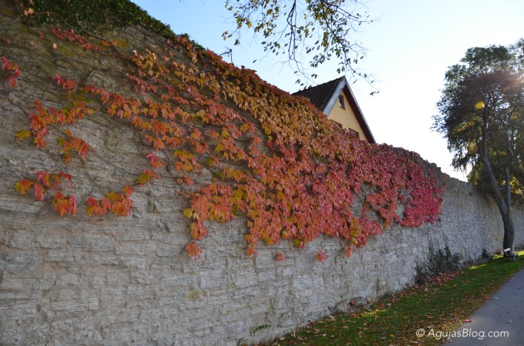
Fall in glorious reds along Köpmanbrinken.

Statues along Köpmanbrinken.

View from Nybroplan, Swedish for “New Bridge square,” a public space in central Stockholm.

Lovely architecture along the water on Strandvägen.

These decorated mailboxes are all over Gamla Stan.

One of many deli / butcher shops in Hötorgshallen Saluhall.

Prepared foods to heat up at home at Hötorgshallen Saluhall. From top left: Boeuf Bourgogne; Kroppkakor (traditional Swedish dish – potato dumplings filled with onions and pork or bacon); Vaktelägg (quail eggs); Fuet (pork sausage).

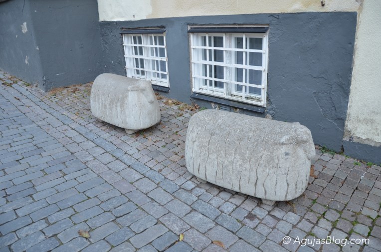
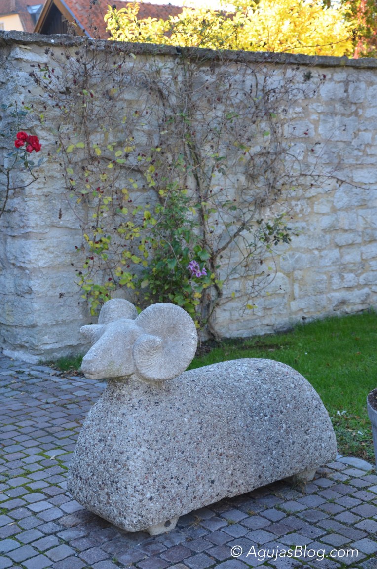
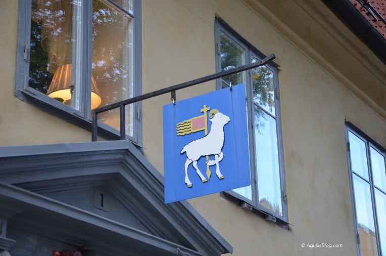
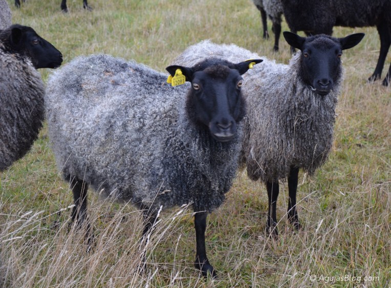
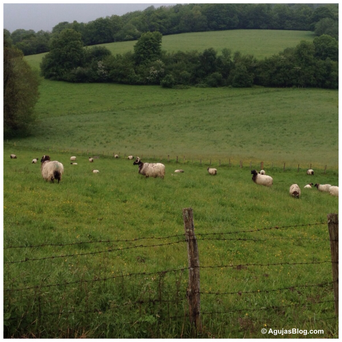
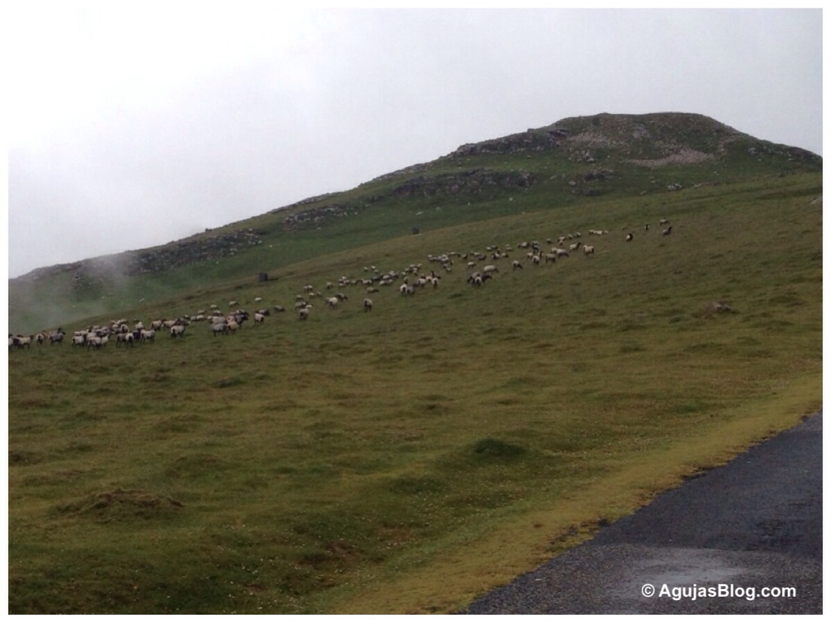
Cute sheep figures were everywhere! Bear or moose anyone? Right column: Björnstek Rökt (smoked bear steaks); Kallrökt Älginnanlår (cold, smoked moose).

Stone faces on the facade of the Parliament House.